 to add an item to your Itinerary basket.


Book Tickets Online
About
The Bingley Heritage Trail is a self‑guided walking route that brings together the town’s most significant historic landmarks, offering visitors an engaging way to explore Bingley’s story. The trail highlights how the town developed from a medieval riverside settlement into an important centre of industry, transport, and community life in the Aire Valley.
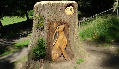
Along the route, walkers can explore a sequence of key locations that each reveal a different chapter of Bingley’s past, beginning from Platform 2 at Bingley Train Station and continuing through Prince of Wales Park, the iconic Five Rise Locks, Myrtle Park, Bingley Market Square.
Download: The Bingley Heritage Trail
Clear descriptions and online resources help visitors understand the significance of each stop, making the trail accessible and rewarding for all ages. Whether you’re interested in architecture, engineering, social history, or simply enjoying a scenic walk, the Bingley Heritage Trail offers a rich and enjoyable way to experience the town at your own pace.
Delivered in partnership with Bradford Council, Bingley Town Council, Action Stations, Friends of Myrtle Park, Friends of Prince of Wales Park, Walkers Are Welcome, and local heritage partners.
Book Tickets
Facilities
Routes
- Description of route - Around 1–1.5 hours to complete.
- Easy Route
- Length of route (miles) - The Bingley Heritage Trail is a circular route of around 2 miles, linking the town’s key historic landmarks.
- Moderate Route
- Urban Route
Map & Directions
Road Directions
Easily reached by road via the A650 from Bradford, Leeds and Keighley, and within Bradford’s Clean Air Zone where private cars are exempt but non‑compliant commercial vehicles may be charged.
Public Transport Directions
Bingley is easy to reach by public transport, with regular trains on the Airedale Line from Leeds, Bradford and Skipton, and frequent bus services including the 60, 622 and 626 stopping in the town centre.